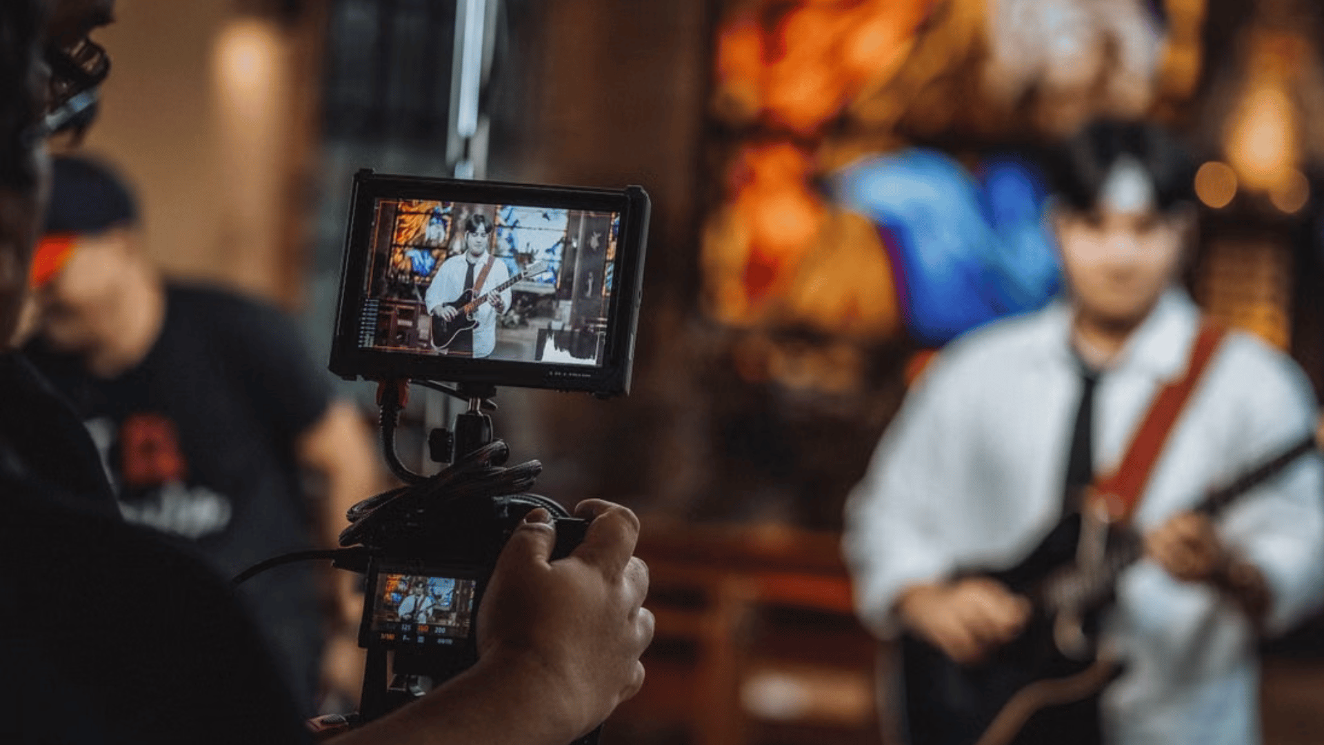


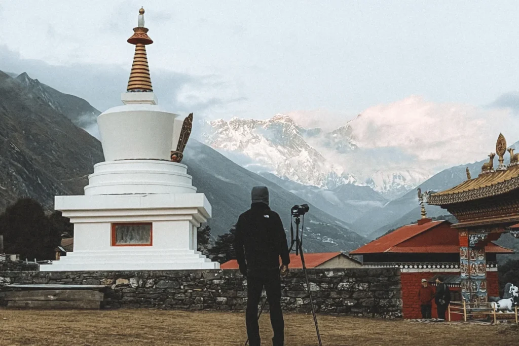
Filming himalayan glaciers are no longer a backdrop. For a growing number of the international productions we support, they are the subject. Climate documentaries built around the Hindu Kush Himalaya have become one of the most active categories of international filming we handle, and the science behind them is moving faster than most production calendars.
ICIMOD’s 2026 Glacier Outlook, drawing on 50 years of monitoring across 38 glaciers, found that ice loss across the Hindu Kush Himalaya has doubled since 2000, with a combined loss of up to 27 metres of ice thickness since 1975. A separate ICIMOD assessment found glaciers in the region shrank 65 percent faster between 2011 and 2020 than in the decade before. For a documentary team, that is not an abstract statistic. It is the reason a shot list built around a glacier’s edge in 2015 satellite imagery may not match what a crew finds on the ground today.
Why This Story Keeps Producers Coming to Nepal
The Hindu Kush Himalaya holds the largest volume of ice outside the polar regions and feeds ten major Asian river systems, making it the water source for close to two billion people downstream. Nepal sits at the center of that system, and its glaciers, from Khumbu to Langtang, are among the most studied and most visually dramatic in the range.
Some of the most striking recent coverage has centered on Yala Glacier in Langtang, which has shrunk by 66 percent and retreated 784 metres since researchers began measuring it in the 1970s, and was the site of Nepal’s first glacier funeral ceremony in 2025, a ritual acknowledgment that a body of ice is functionally dying. Stories like this give climate documentaries a human and cultural frame that pure data cannot, and they are exactly the kind of access we are asked to arrange.
What Makes This Shoot Different From a Standard Trek Documentary
Filming glacier retreat is not the same brief as a summit documentary. Productions typically need:
- Access to specific glacier sites tied to existing scientific monitoring stations, not just scenic viewpoints
- Coordination with glaciologists or research teams already working in the area, often affiliated with ICIMOD or local universities
- Comparison material, historical photographs, satellite imagery, or prior expedition footage, to visually anchor how much a glacier has changed
- Flexibility in scheduling around research expedition windows, since scientific fieldwork season and optimal filming season do not always align
- High-altitude logistics for crew and equipment at elevations where standard filming gear and standard fitness levels both struggle
Permits and Access at Altitude
Glacier locations inside national parks, such as Sagarmatha (Everest) or Langtang, fall under the same DNPWC filming permit structure as lowland parks, with the added layer of altitude-safety documentation and drone restrictions specific to high-altitude zones. Restricted areas near the Tibet border, including parts of upper Langtang and Manaslu, require separate clearance from the Ministry of Home Affairs and sometimes an accompanying liaison officer.
We typically handle:
- National park filming permits through DNPWC for glacier sites inside protected areas
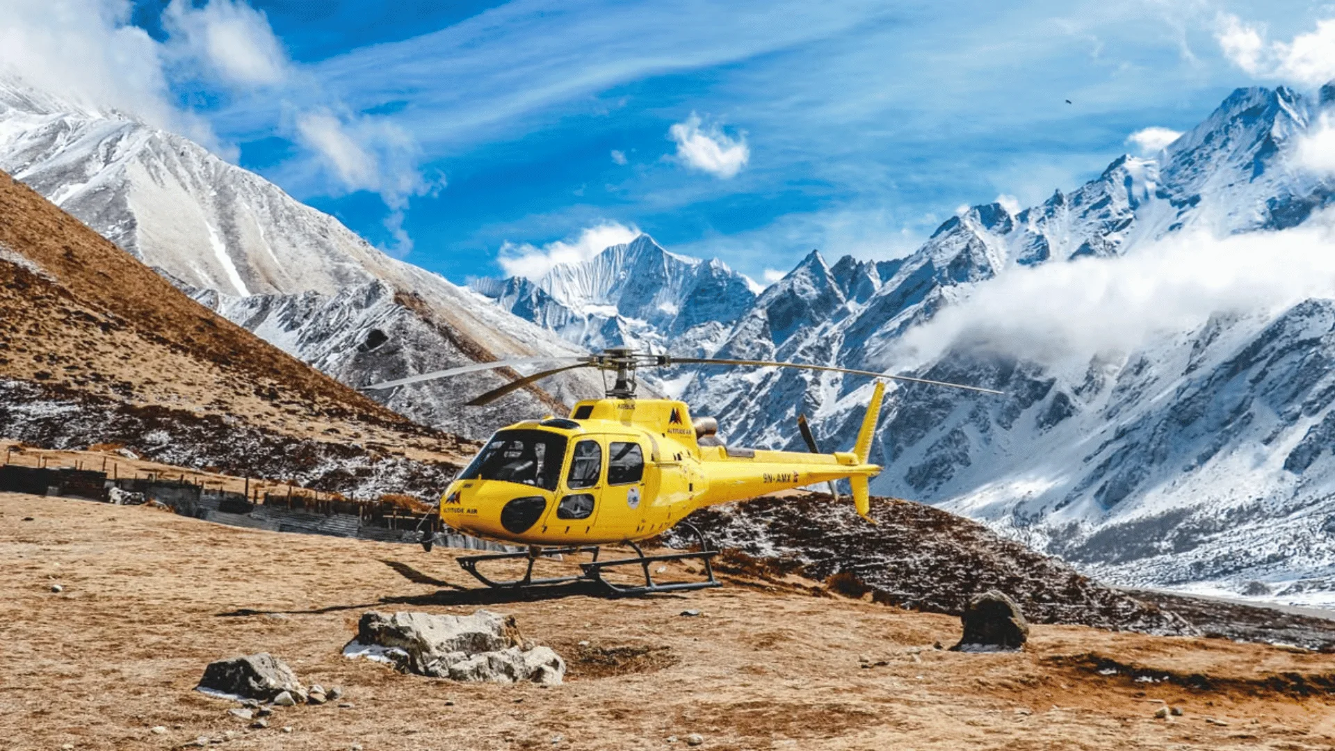
- Drone and aerial filming clearance through the Civil Aviation Authority, which is especially important for glacier documentaries that rely on aerial comparison shots
- High-altitude crew logistics, including acclimatization scheduling, porter and yak support, and satellite communication for remote camps
- Coordination with research stations or NGOs already monitoring the specific glacier being filmed
Where Nepal’s Glaciers Are Actually Filmed
Not every glacier is equally accessible, and equally filmable. Three locations account for most of the climate documentary work we support:
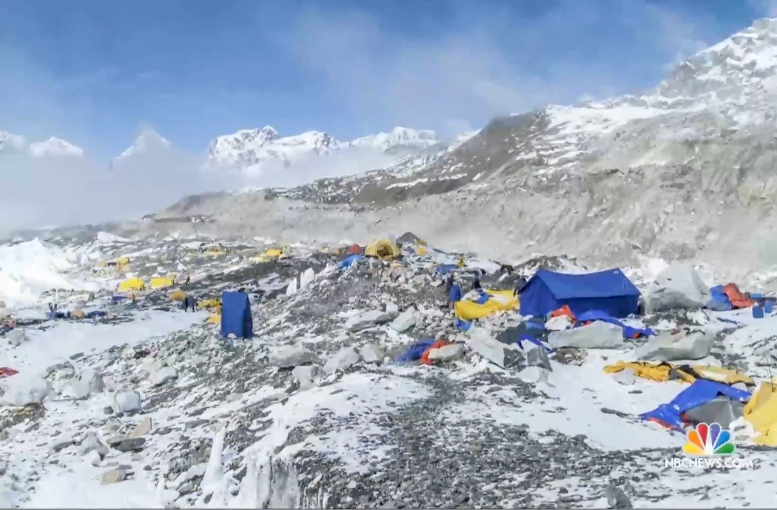
- Khumbu Glacier and Everest Base Camp, inside Sagarmatha National Park, one of the largest and most visually iconic glaciers in the range, with strong existing scientific documentation to draw on for comparison material
- Ngozumpa Glacier near Gokyo, Nepal’s longest glacier, feeding the Gokyo Lakes system and increasingly used as a case study for downstream water security stories
- Yala Glacier in Langtang, smaller and more remote, but with an unusually long research record stretching back to the 1970s, which makes it one of the strongest “before and after” stories available anywhere in the Himalaya
Each site has a different access profile. Khumbu sits on the standard Everest Base Camp trekking route and is logistically the most straightforward, if still demanding at altitude. Langtang requires a shorter approach from Kathmandu but less trekking infrastructure once crews are on the ground. Choosing a location is as much an editorial decision as a logistical one, since the strength of a glacier’s research history often matters more to the finished film than how easy the glacier is to reach.
Filming Days at Altitude
A glacier shoot is not paced like a lowland shoot. Everything above 4,000 metres moves slower, including crew, gear, and decision-making. A realistic filming plan typically builds in:
- Several days of scheduled acclimatization before any high altitude filming day, usually built around the standard Everest Base Camp or Langtang trekking itinerary rather than compressed for the shoot
- Shorter effective filming windows per day, since cold, wind, and thin air all reduce how long crew and equipment can work efficiently at altitude
- Battery and drone performance that drops noticeably in cold temperatures, requiring backup power and, where possible, insulated equipment cases
- Satellite communication for remote camps beyond reliable mobile network coverage
- A porter and yak support plan sized for camera gear, not just personal kit, since glacier shoots often carry more equipment than a standard trek
Weather windows matter as much as any permit. The pre-monsoon window from March to May and the post-monsoon window from late September to November offer the clearest skies and most stable conditions for both trekking and aerial filming, which is why most international productions target those two periods.
Climate documentaries live or die on credibility. A crew that shows up without a connection to the glaciology community risks getting scenic footage without scientific grounding. We help productions connect with researchers who can speak on camera, verify the accuracy of retreat claims for specific sites, and in some cases guide crews directly to monitoring points that are otherwise difficult to locate without local knowledge.
Our research and scouting team can also source archival and comparison material, expedition photographs, older survey data, and local accounts, so crews are not relying solely on what they can capture in a single filming window.
FAQ: Filming Himalayan Glaciers in Nepal
Do we need a special permit to film glaciers in Nepal, or does a standard trekking permit cover it?
A standard trekking permit does not cover filming. Documentary and commercial productions need a separate filming permit, on top of the national park entry permit for parks like Sagarmatha or Langtang, and drone use requires additional Civil Aviation Authority clearance.
Which glacier is best for a climate change documentary in Nepal?
It depends on the story. Khumbu Glacier offers the most iconic imagery and easiest access via the Everest Base Camp route. Yala Glacier in Langtang has the longest research record, making it the strongest choice for a data-backed retreat story. Ngozumpa near Gokyo works well for water security angles.
How long does the filming permit process take for a glacier documentary?
Plan for six to eight weeks minimum, longer if the shoot touches a restricted border area near Tibet, such as upper Langtang or Manaslu, which requires additional clearance from the Ministry of Home Affairs.
What is the best season to film Himalayan glaciers?
The pre-monsoon window from March to May and the post-monsoon window from late September to November offer the clearest skies and most stable conditions for both ground and aerial filming.
Do we need a glaciologist or researcher on camera for the story to hold up?
It is not mandatory but strongly improves credibility. We help productions connect with researchers affiliated with ICIMOD or local universities who can verify site-specific retreat data and, in some cases, guide crews directly to monitoring points.
Is drone filming allowed near Everest and Langtang glaciers?
Yes, but it is tightly controlled, especially near Lukla airport, military posts, and Everest Base Camp itself. Expect a multi-week approval process and be prepared to carry documentation on site at all times.
Working With Icefall Productions on Climate Stories
Icefall Production has supported international broadcasters filming high-altitude and environmental stories across Nepal, from permits and drone clearance to crew and research coordination. If you are developing a climate documentary around Nepal’s glaciers, our permits and clearances and research and scouting teams can help scope the shoot before you lock dates.
Reach out through our services page to start the conversation.